Devpost
Participate in our public hackathons
Devpost for Teams
Access your company's private hackathons
Grow your developer ecosystem and promote your platform
Drive innovation, collaboration, and retention within your organization
By use case
Blog
Insights into hackathon planning and participation
Customer stories
Inspiration from peers and other industry leaders
Planning guides
Best practices for planning online and in-person hackathons
Webinars & events
Upcoming events and on-demand recordings
Help desk
Common questions and support documentation
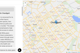
A community-driven accessibility mapping platform that empowers users to catalog and rate the accessibility of public spaces while earning blockchain-based NFT badges for their contributions.
Smart City Navigator: Your AI Guide to Urban Exploration.
A recommended walking route that guides you towards the moon using real-time lunar data and Google Maps
Immerse yourself even before the travel planning
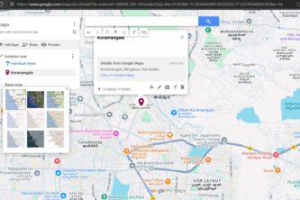
We connect guests to local gems through interactive Google Maps-powered guest books, enhancing stays while boosting community businesses.
Real-Time Routes
Rewind tech history: Explore how developer hubs evolved with interactive time-lapse maps powered by Google.
Plan your trip with confidence by seeing real-time weather along your route. The app displays live forecasts at key points, helping you avoid bad weather and traffic to stay safe on the road.
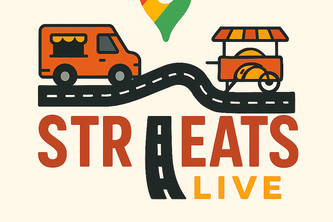
StrEATs Live is a real-time street food discovery platform built on Google Maps that connects vendors and customers. Vendors can mark their live location, update menus, and broadcast to customers.
Revolutionizing real estate with intelligent, location-based insights—for smarter investments and better living.Smarter home buying starts here—free insights, local intelligence, better decisions.
Keep your memories alive — and let the world feel them
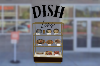
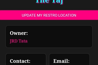
DishLens uses AR and Google Maps to let customers preview restaurant dishes in life-size 3D, while helping restaurants attract more customers with immersive, location-based menus.
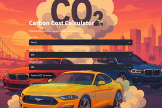
See the carbon behind every routes
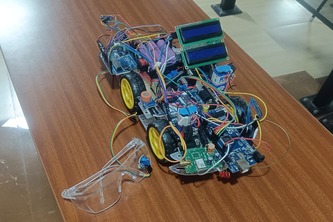
Intelligent Vehicle Monitoring System with Drowsiness, Alcohol, and Crash Detection Linked to Google Maps Alerts
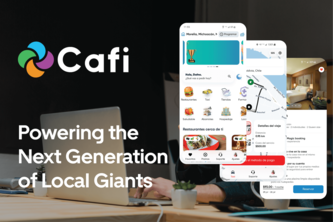
We empower entrepreneurs and businesses with their own app like Uber, Rappi, Airbnb, or Amazon in just a few minutes—automatically adapting in real time, with just one click, to each city or need.
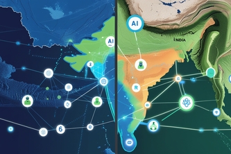
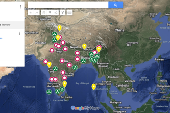
Protecting millions from cross-border air pollution with real-time monitoring, smart alerts, and Google Maps-powered visualization.
"Tiofy – Connecting Communities, Empowering Lives."
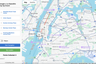
Go now, Get rewarded, and know your Way. Your journey starts now!
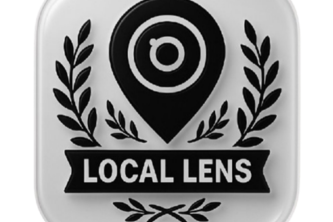
Explore places through emotion. Local Lens maps voice, mood, and local stories within 3 km — bridging cultures through AI and multilingual support.
customizable maps
11
A school transport app for schools to enhance safety, efficiency, and communication. With real‑time GPS tracking using Google maps, parents and administrators get live visibility into bus routes.
Using the google maps representing the states weather they are left biased ( Negative ) and right biased ( Positive ) based on the daily news of that particular day's News
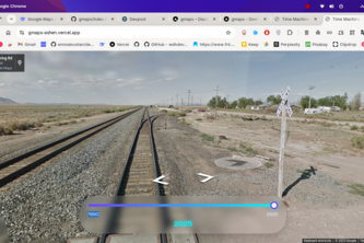
Google already explored the Earth - now it's the Universe's turn. An intelligent space navigator will show where the Google Street View car would go if it could drive on Mars, the Moon, or orbit.
289 – 312 of 414