Devpost
Participate in our public hackathons
Devpost for Teams
Access your company's private hackathons
Grow your developer ecosystem and promote your platform
Drive innovation, collaboration, and retention within your organization
By use case
Blog
Insights into hackathon planning and participation
Customer stories
Inspiration from peers and other industry leaders
Planning guides
Best practices for planning online and in-person hackathons
Webinars & events
Upcoming events and on-demand recordings
Help desk
Common questions and support documentation
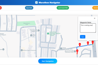
Our platform uses Google Maps API and web tech to let users create and follow interactive routes with real-time guidance.
Smart Paths for a Sustainable Future
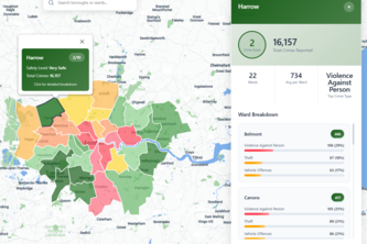
Find Your Place, Safely!
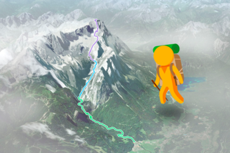
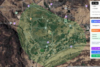
An immersive panorama trip from valley to summit of Zugspitze, Germany's tallest mountain.
Discover your memories on the map
Curb Quest is a treasure hunt for curbside gems—snap, share, and score free finds before council pickup. Good for your wallet, great for the planet!
"Mapping Needs, Building Futures."
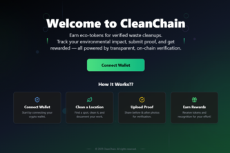
A decentralized platform that lets anyone clean dirty areas, prove it with geo-tagged evidence, and earn crypto rewards — all tracked publicly using Google Maps + Blockchain.
🚀 “We are building an immersive 3D City Trekking Tour Platform that lets users explore trekking routes and urban paths using interactive 3D Street View and route planning.
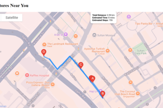
Using Google Maps and Vertex AI Search, we have made it possible for customers to seamlessly search for products online, check store inventory, and then visit the actual store.
Lead Finder AI - Think it? Find it!
Your one-stop smart trail for smart thrifters.
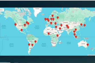
An interactive global map showcasing real world cyber attacks with insights, definitions, and prevention tips designed to educate and raise cybersecurity awareness through data visualization.
A Google Maps powered platform that transformed Indonesia’s nightlife in one venue party mapping, connecting DJs, venues, and fans through an interactive map for live music and community support.
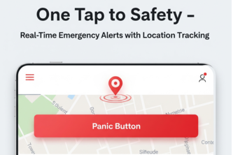
“One Tap to Safety — Real-Time Emergency Alerts with Location Tracking” A web-based panic button that instantly shares your live location with help centers, even offline.
Mobile app to find your lost pet(s) or identify a pet you have found. Using the Google Maps SDK to pinpoint where you have found or noticed a lost pet or identify where your pet was last seen.
Startup Next is a platform where entrepreneurs can submit their startup ideas for virtual pitch competitions, browse other pitches, and gain exposure through a clean minimalistic design.
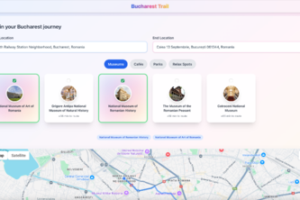
Buharest Trail - Explore smarter. Walk with purpose.
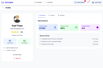
Share the ride, share the cost.
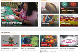
Art Galleries are already on Google Maps. My project is to add one more link to Art Galleries and Artists: events / Exhibitions / Seminars /Workshops / Camps /Awards / News / Artworks, etc.
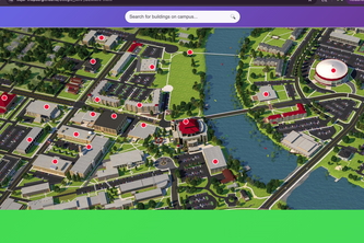
Virtual Yatra is an immersive campus tour tool that lets users explore buildings, landmarks, and directions using Google Maps, Street View, and smart search features.
jay shree ram
PortaVerse: Explore real-world locations in VR using Google Maps & geospatial tech for a fun-filled, immersive experience!
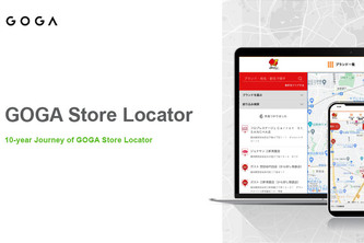
Maps have evolved from something to look at into an experience of searching and choosing. This is the 10-year journey of GOGA Store Locator, walking with Google Maps Platform.
169 – 192 of 414